
|
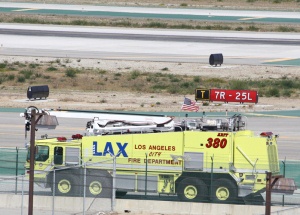
photo by Big Mike |

photo by Tulare County FD |
|

photo by Modesto Fire Department |

photo by Fremont FD |
photo by Jose Ybarra |
|

photo by Los Angeles County Fire Department |

photo by Kern County Fire Department |

photo by Fresno Fire Department |
|

photo by Eldorado County Fire Protection District |

photo by San Andreas Fire Protection District |
California
California's diverse geography ranges from the Sierra Nevada in the east to the Pacific Coast in the west, from the redwood–Douglas fir forests of the northwest, to the Mojave Desert areas in the southeast. The center of the state is dominated by the Central Valley, a major agricultural area. California contains both the highest point (Mount Whitney) and the lowest point (Death Valley) in the contiguous United States.
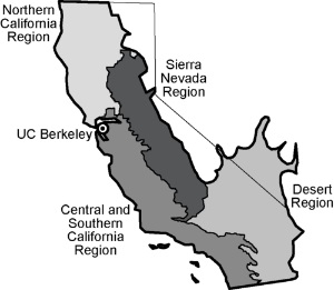
California is the most populous state in the United States as well as the third most extensive by area. Earthquakes are common because of the state's location along the Pacific Ring of Fire. About 37,000 earthquakes are recorded each year, but most are too small to be felt. Drought has also become a notable feature. |
|
|